Sunday, May 20, 2012
Happy hopping
Californias Capital City Sacramento (KSMF) was the next target on the trip. Meanwhile my trip around the world reached its 108th leg and I so far covered a distance of 33000 nautical miles, which corresponds to about a third of the whole trip (total planned are 94000 nm and 365 legs). Fantastic, that still everything works quite well and the legs get smoother and smoother. I would say all my passengers leave my planes with a smile on their face, which of course makes me very proud.
And still I'm very happy to fly for FlyGermany-Lufthansa, the VL on HHG Server with the most destinations!
Happy Hopping,
PT
Saturday, May 19, 2012
KRDD - KSFO fast track
Immediately after landing of previous leg I decided to add another short leg to San Francisco (KSFO). 45 mins I had left to conculde the 170nm leg. Of course with my B737-Hawaiian Airlines Rocket - no big deal :)).
Everything went very smootly, landing in beautiful San Francisco was awesome.
Happy Landing,
PT


Stopover at Redding International
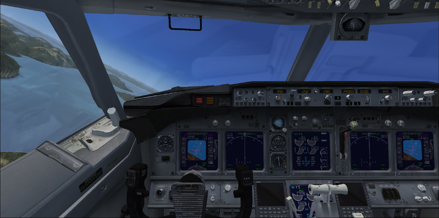
04:01am ready for take-off at Rogue international. Without large delay Hawaiian Air 777 took off at Rogue international. Steep and immediatel climb to FL2100 followed, cruising speed 300kt. 289 passengers enjoyed the nice short leg from the state of Washington into nice California. Stars were shining, few clouds, but not disturbing and no traffic early in the morning. After a short snack on board with free beverages ;-) descent into Redding started already. Clouds became a little bit more, but weather report showed cleared for VFR approach. Managed by ATC finally ILS approach onto Redding (KRDD) rwy 34 was possible and a smooth touchdown concluded the small trip.
"Welcome to Redding International, the crew of Hawaiian Airlines hopes that you had a nice journey and wishes you a wonderful stay in Redding or travel onwards."
PT
Friday, May 18, 2012
Dawn at boarder Oregon California
Again early in the morning 5 am local time a short hop lead my journey from Portland to Rogue international (KMFR). This time moon was almost gone, but the stars in the sky were so bright, it was almost feeling like during the day. Very impressive!
Flight time was quite short with less than 45 mins and landing without any incidents. This time ATC was also friendly enought to give more realistic instructions for the approach.
Here I'd like to take the opportunity to make some advertisment for a very nice tool. It is called GMap. It connects to FSX and shows on Google Maps the exact and live position of the aircraft. In addition to the GPS a fantastic tool which allows to get some more detailed information about the current location and is especially useful when flying to hilly areas. You can get it on www.fswidgets.com under the section downloads.
Have fun and happy navigating!
PT

Thursday, May 17, 2012
Welcome to the US
Again start at night - but beautiful flights into almost daylight (start around 4am). Moon was accompanying the flight, followed by the sunlight crawling up almost over the horizon.
First leg to Seatle (KSEA) was quite short, but the approach was very nice landing almost throught the skyline and the famous tower in Seattle.
Second leg was fantastic, through the prominent mountains into the area of Portland, KPDX (e.g. Mr. Rainier or the world famous Mount St. Helens). Even though ATC gave a quite interesting vectoring out of which I had to almost kamikaze like very steep bank I finally made it on time.


Tuesday, May 15, 2012
Groupflight Alaska to Canada
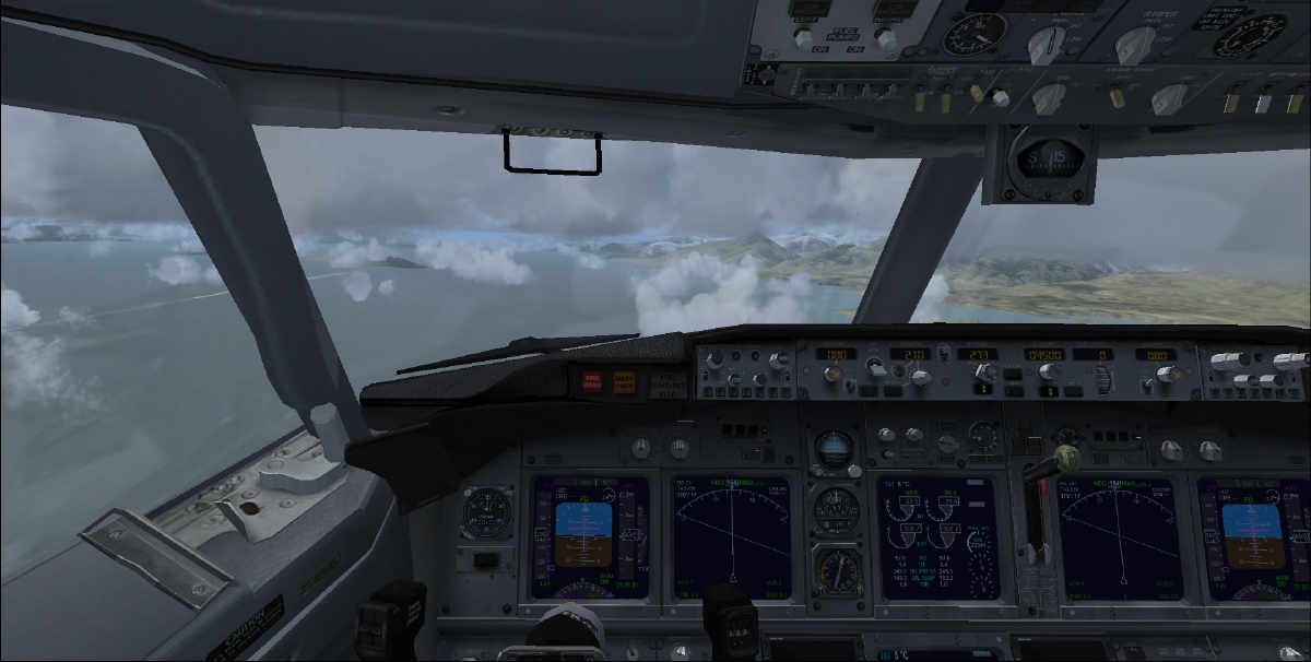
Today I planned to make a VL trip together with mv47. We both started our flights at Wrangell PAWG and headed directly to Vancouver. Again I decided to shortcut my original route a little bit and therefore I left out two intermediate airports. Start was ok, even though I had some difficulties to take off. Unfortunately after about 15 mins both myself and mv47 we lost connection to the host. Apparently somebody decided to restart the server and threw us out. Immediately after restart we decided to start somewhere inbetween the leg approximatly around the place where we dissapeared. So Bella Coola was the next starting point. That should also not be easy. For those of you who are familiar with the geography around this small airport you know what I mean, for all the others I suggest that you once take your aircraft there and have a look at it. Basically it is a small airport surrounded by highrise mountains. So you better start with a almost empty tank, as less passengers as possible and then with a parkbrake full throttle high climb rate start out of the valley. Ultimately that is what we did and finally we managed to get out of the rims on a safe altitude.
The rest of the leg was more or less sightseeing around Victoria Island and finally Vancouver. Bot /ATC gave clearance for Rwy 26, downwind was more or less above downtown Vancouver. At the end a grouppicture concluded todays trip.
Thanks a lot to mv47 for all the fun we had - is very worth to be repeated soon again!
Happy Landings,
PT


 |
| Restart in Bella Coola |

 |
| mv47 in action |


Saturday, May 12, 2012
Clouds + Mountains + Night = Sweat
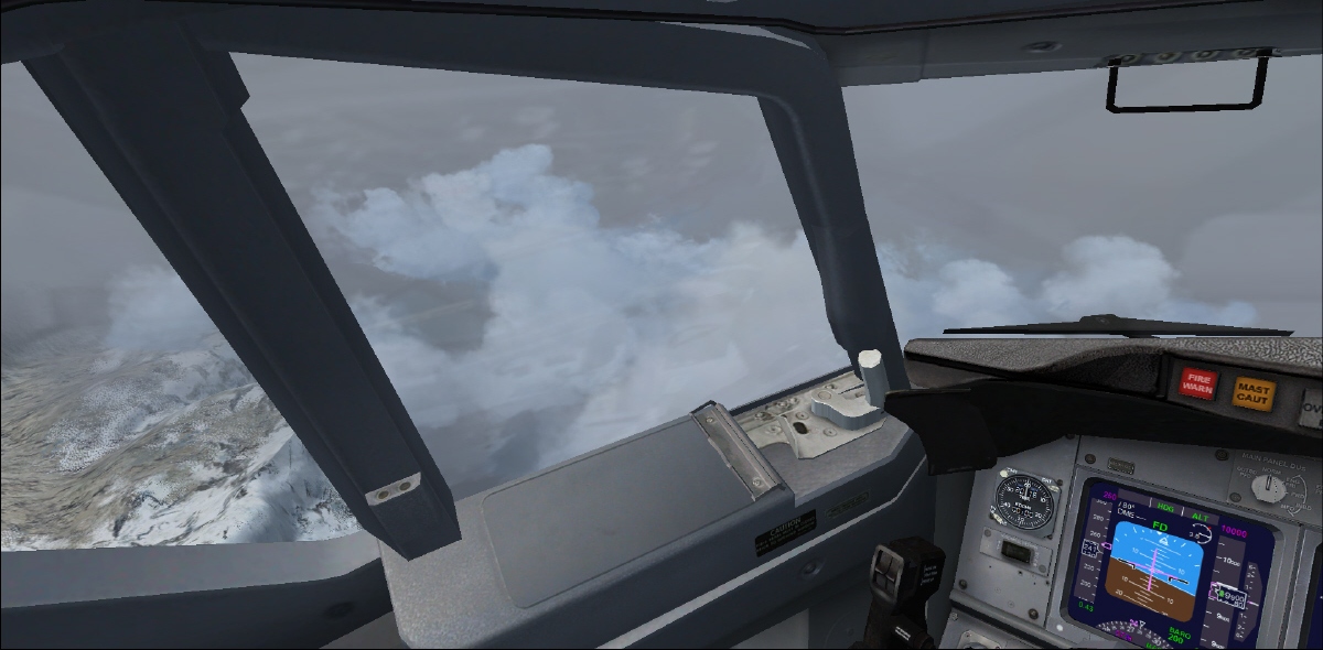
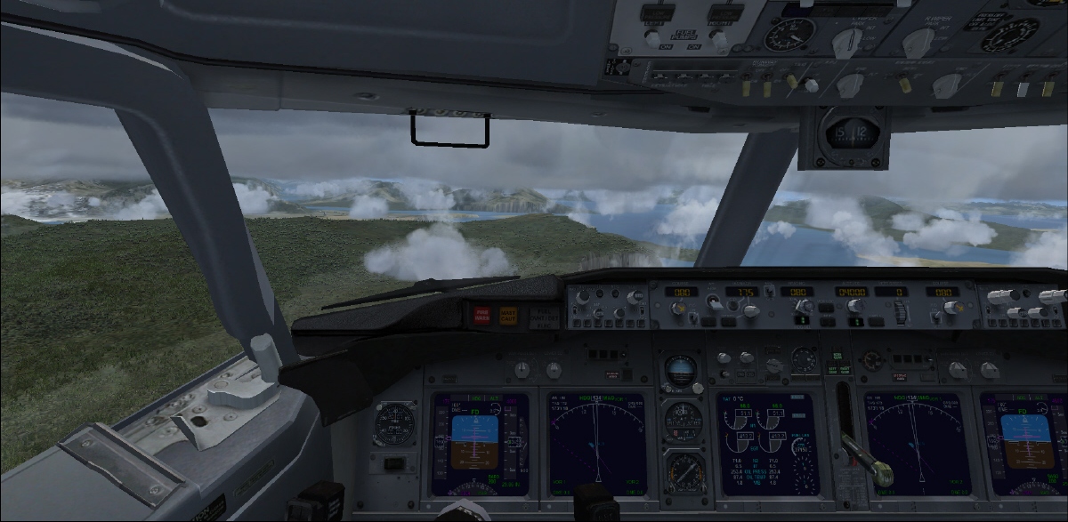
Above formula is more or less the best summary of the last trip I did. You can imagine the hilly, or better said mountaneous region of Alaska coupled with clouds with basis at around 3500 feet a.s.l. can be quite hard if you're not familiar with the geography. So this leg was specially difficult as I knew that bot/ATC does not really take care about that. So even if there's mountains with hights of 6000-8000 feet around bot/ATC will still give you downwind or base altitude clearance of 4000 feet (of course this will be different in a real flight). You can imagine that this might cause some challenges - especially when these mountains are covered in white fog.
So from Juneau the trip went to Wrangell PAWG in the south of Alaska. I can tell you eventhough I was sitting in my office chair in a well-temperatured room in my apartment I got some sweat-drops around my upper head when I touched ground. This also shows how realistic the FSX with a nice and fast computer with a large screen can be :-)
Happy sweating :)
PT


Tuesday, May 8, 2012
Inside Alaska
First trip in Alaska was just stunning. I could almost not believe how nice the scenerey is modelled in this area, almost like the team of FSX went to Alaska for some design discussions and decided to specially take care about this region. Maybe it is also because for the past 20'000 miles I haven't seen any big mountains ;-). So the todays leg led from PAYA to Juneau International - PAJN.
By the way: did you know the following about Juneau?
- Juneau is only 45 miles from end to end, but has over 130 miles of hiking trails.
- Juneau’s backyard is a 1,500 mile glacial ice field bordering Canada.
- Juneau has over 280 species of birds, all five species of salmon, brown and black bears, and three species of whales.
- The longest day here is June 21: the sun rises at 3:51 am and sets at 10:07 pm. The shortest day is December 21: the sun rises at 8:44 am and sets at 3:07 pm.
Interesting, isn't it - worthwile a trip I would say!
Happy Landings,
PT


Tuesday, May 1, 2012
Way to Alaska
Starting early morning, still at night I left the north island of Japan direction a new continent north america. Again the decision was made to fly a very long leg and also to avoid regions with very few population and therefore suitable airports. More than 2300 nautical miles long was the leg which and therefore it was clear that I will leave the night and fly into daylight - finally. Sunrise was beautiful and the scenery changed from garden green in Japan to flat blue ocean to mountaneous but very appealing landscape around Alaska.
The flight was without incidents, landing was good (at PAYA). Enjoy the trip with some beautiful pictures below.
PT


Subscribe to:
Comments (Atom)